…
…

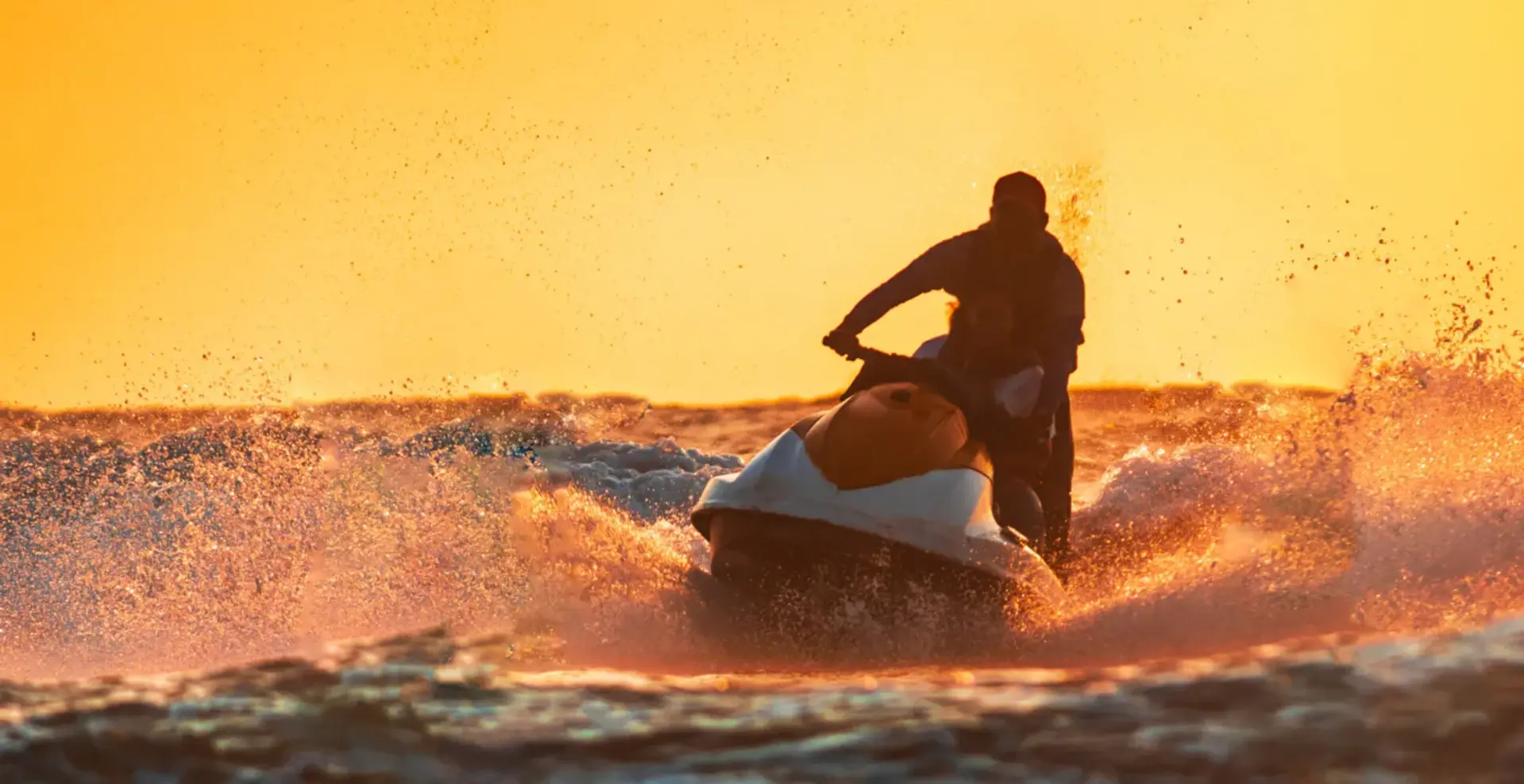
For jet skis and small boats: pick your area and your point — a public ramp, a pass, a waterfront — and get one plain-language verdict — GO, BORDERLINE or NO-GO — computed live from the official marine forecast, the nearest real buoy, the tide, and satellite water clarity. The ride home counts as much as the ride out.
Pick an area, then a point in it — a public boat ramp, a pass, a waterfront. The verdict below is computed right now, in your browser, from the current NWS marine forecast for that point's waters, cross-checked against the nearest buoy and tide station to the point. Your pick is remembered on this device.
The index: Florida's official artificial-reef list (FWC — every published site, with its material, depth and year) plus the public ramps, passes and waterfronts in the areas below. Tap a result and the full panel — forecast, nearest buoy, tides, water temperature, satellite clarity — opens for that exact point.
The same verdict, day by day, from the official NWS zone forecast for your point's waters — for as many days as the forecast runs: usually about five, a full week when the source publishes one. Each day pairs its daytime and night periods and is judged by the worst of them, with the same thresholds as today's card. Pick a different point above and this strip follows it.
Coverage areas anchored to public places — towns, passes, public boat ramps and waterfronts. Each area holds a few public points; tap a point and its card runs the full live check: the NWS forecast for the point's own waters, the nearest buoy and tide station picked by distance, and the thresholds below. The weather is whatever NWS and NOAA say right now.
The same official data covers every US coast. Choose your marine zone below — zones are named the way a person would say them: the stretch of coast and how far out the water runs. If yours isn't listed, type its code (you'll find it on any NWS marine forecast page).
Forecasts and buoy reports come with codes like GMZ853 or 42013. Nobody memorizes those. On this page every station is named in words first, with the code in parentheses for anyone who wants to check the source — and every point and every picked zone gets its nearest stations chosen by distance, automatically.
Each point sits in exactly one marine zone, and the verdict reads that zone's official forecast. A zone forecast is an average over a big stretch of water — your point can sit in the rough part of it, which is why the buoy cross-check below matters.
Official forecast — Englewood to Tarpon Springs (GMZ853)
Official forecast — Tarpon Springs to Suwannee River (GMZ850)
Small Craft Advisory means the weather service is officially warning small boats: winds around 20 knots or more, or seas of 7 ft and up, expected. On this page an active advisory for your waters is an automatic NO-GO — no threshold math overrides it.
Buoy page — shelf buoy off Tampa Bay (42013)
Buoy page — deep-water wave buoy (42036)
True-color satellite photos of the water around your selected point, one per day. Read them at the point (yellow dot): a green, milky band along the shore is churned-up water — poor visibility offshore. Dark blue is clear water. Frames load live from NASA; if today's pass isn't published yet, the strip honestly shows the latest frame that exists and labels it with its real date.
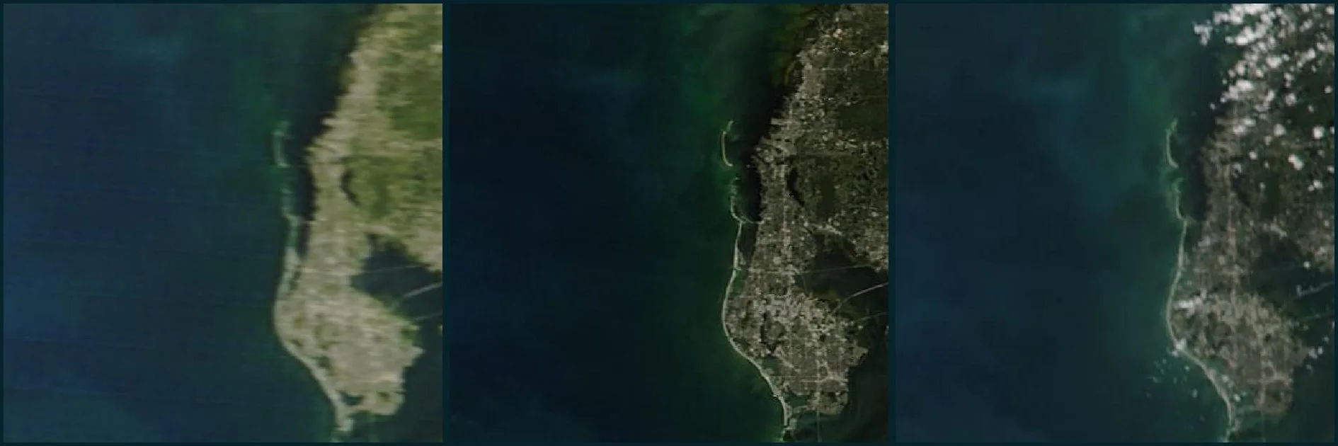
The storm check, Oct 23–24, on the home coast: Friday morning (left) the murk is a thin green strip along the islands and the water offshore is dark blue. By Saturday morning (center, and again in the afternoon pass, right) the green band has widened and pushed seaward — Tarpon Springs and Dunedin sit inside it. Water clarity offshore was already falling a day before the wind peaked. No frame for Sunday the 25th existed yet at check time — the morning Terra pass comes around 10:30 AM. The strip above always shows the three most recent days for your point.
No magic: a verdict is a check against a few hard thresholds. They weren't written by a marketer — they were written by a man an east wind nearly left in the Gulf once. The live cards above run exactly these rules.
East, northeast, southeast: ≤10 knots, gusts ≤14 as the base limit. The farther out your point, the stricter it gets: beyond 6 miles offshore — ≤8 / gusts 12; only inside 3 miles is ≤12 / gusts 16 allowed. Every knot of offshore wind is a headwind on the way home.
A following sea on the return leg: ≤12 knots, gusts ≤16. The verdict is computed for the trip home, not the trip out: riding out downwind is always easy — the question is what it looks like three hours later.
Height ≤2 ft (0.6 m). If the period is ≤4 s, only ≤1.5 ft (0.45 m): short chop hits more often and swamps you worse than a taller, longer swell.
After wind over 15 knots, the water turns murky. Wait two calm days for the sediment to settle — and check the satellite strip above: green at your point means the wait isn't over.
If scattered thunderstorms are in the afternoon forecast, the verdict carries a deadline: be back by 1:00–2:00 PM — not a suggestion, but the time the whole trip is built around.
The source is the NWS marine zone forecast and NDBC buoys — not land weather and not a “model average.” An active Small Craft Advisory for your waters is an automatic NO-GO.
Off the Anclote coast, the open water lies to the west of every ramp. An east wind pushes you out on a following sea — fast and fun. The way back is straight into wind and waves, on a tired rider, sometimes under a building storm front. That's why every verdict here weighs the ride home on its own — and downgrades because of it, even when the ride out looks perfect.
A what-if sandbox for the engine: move the sliders and watch the verdict change. It runs right on the page, no server.
This page is the live v1: your verdicts, your areas, your waters — open to everyone while we build it out. The full app adds alerts and your own saved points on top of the same engine — and the first users lock in the founding price below.
Follow Gulf Road Apps:
Trying it on your waters? Tell us what the verdict got right or wrong: gulfandroadapps@gmail.com
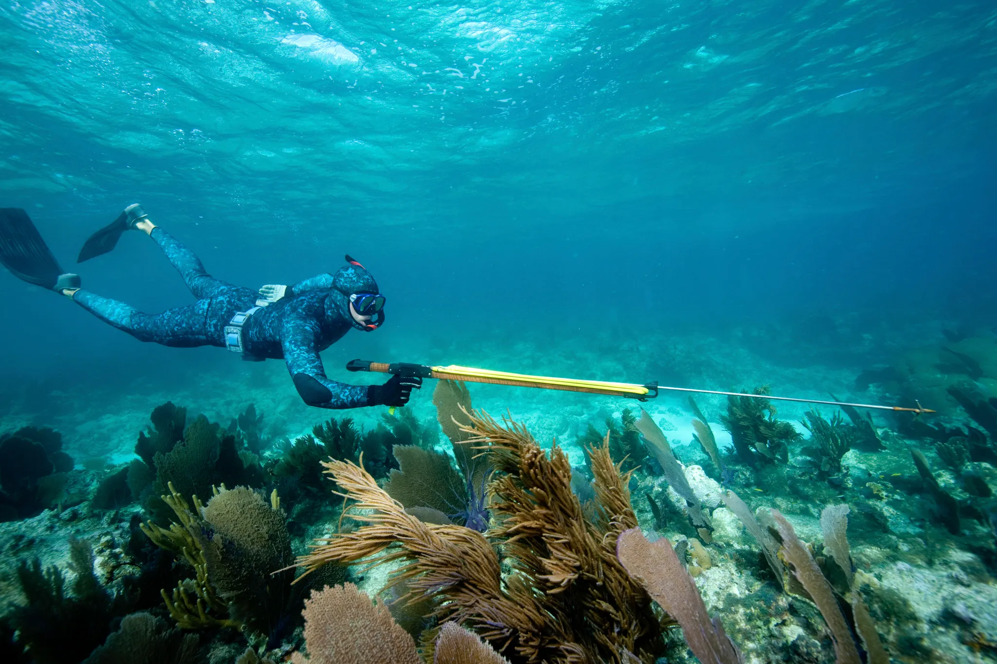
We're building the first crew of users now — people who'll actually use the app and tell their friends and fellow boaters about it. Join as a founding user and your price never goes up while you're subscribed. Start with a 14-day free trial, then $59.99/year.
Founding price — $59.99/year, locked in · 14-day free trial included
Start 14-day free trial14 days free, then $59.99/year. Cancel anytime during the trial and you won't be charged. Checkout is handled securely by Stripe.